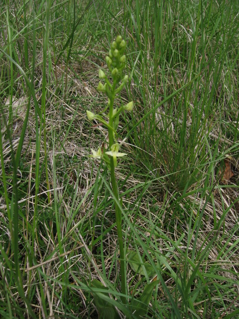
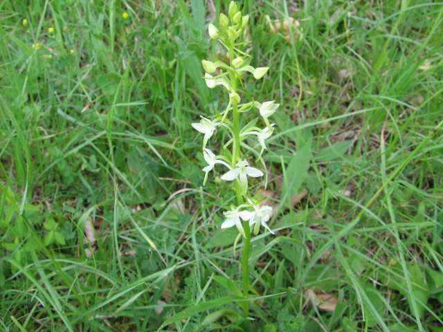
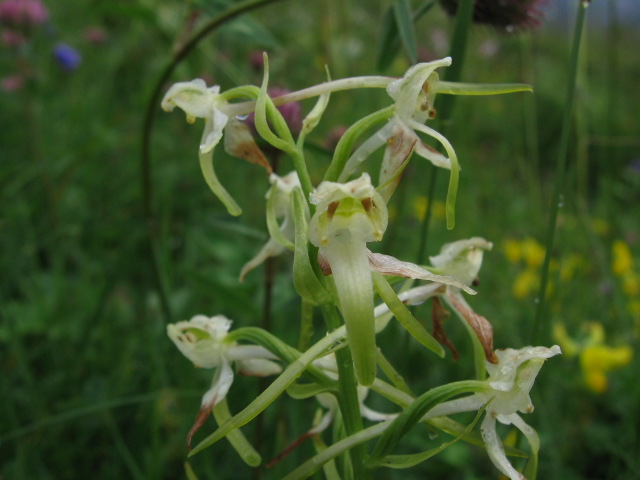
- Photo Date :May 9, 2008
- Location :Mount Cesar near Bailleul-sur-Thérain, Oise, France.
N49Ḟ 23.162' E2Ḟ 14.461'
|
 |
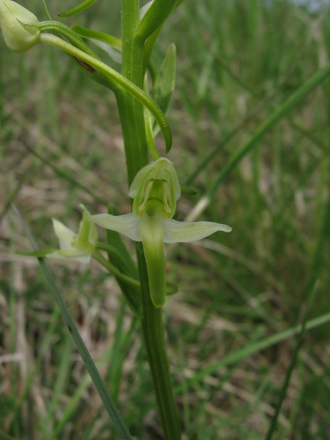
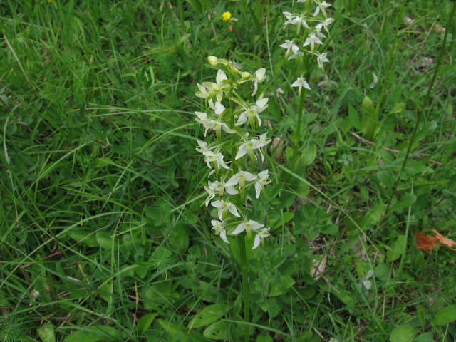
- Photo Date :May 9, 2008
- Location :Mount Cesar near Bailleul-sur-Thérain, Oise, France.
N49Ḟ 23.162' E2Ḟ 14.461'
|
 |
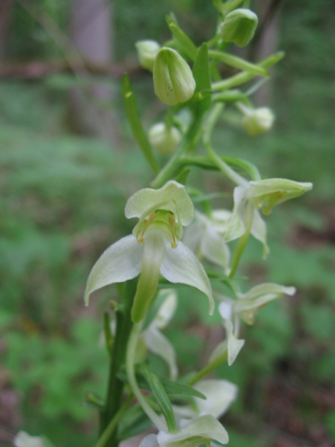
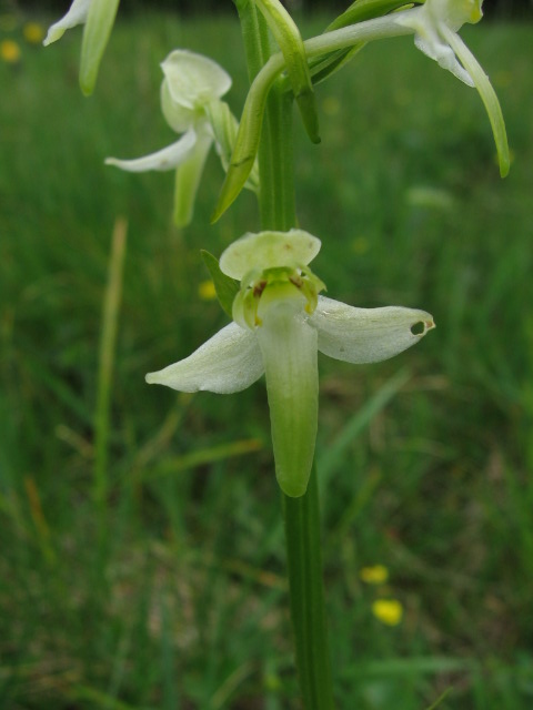
- Photo Date :May 9, 2008
- Location :Pelouse calicole de Roberval, Oise, France.
N49Ḟ 17.838' E2Ḟ 41.283'
|
 |
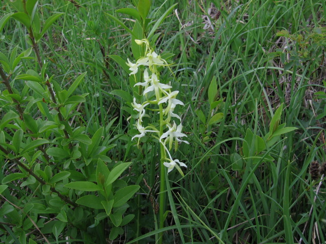
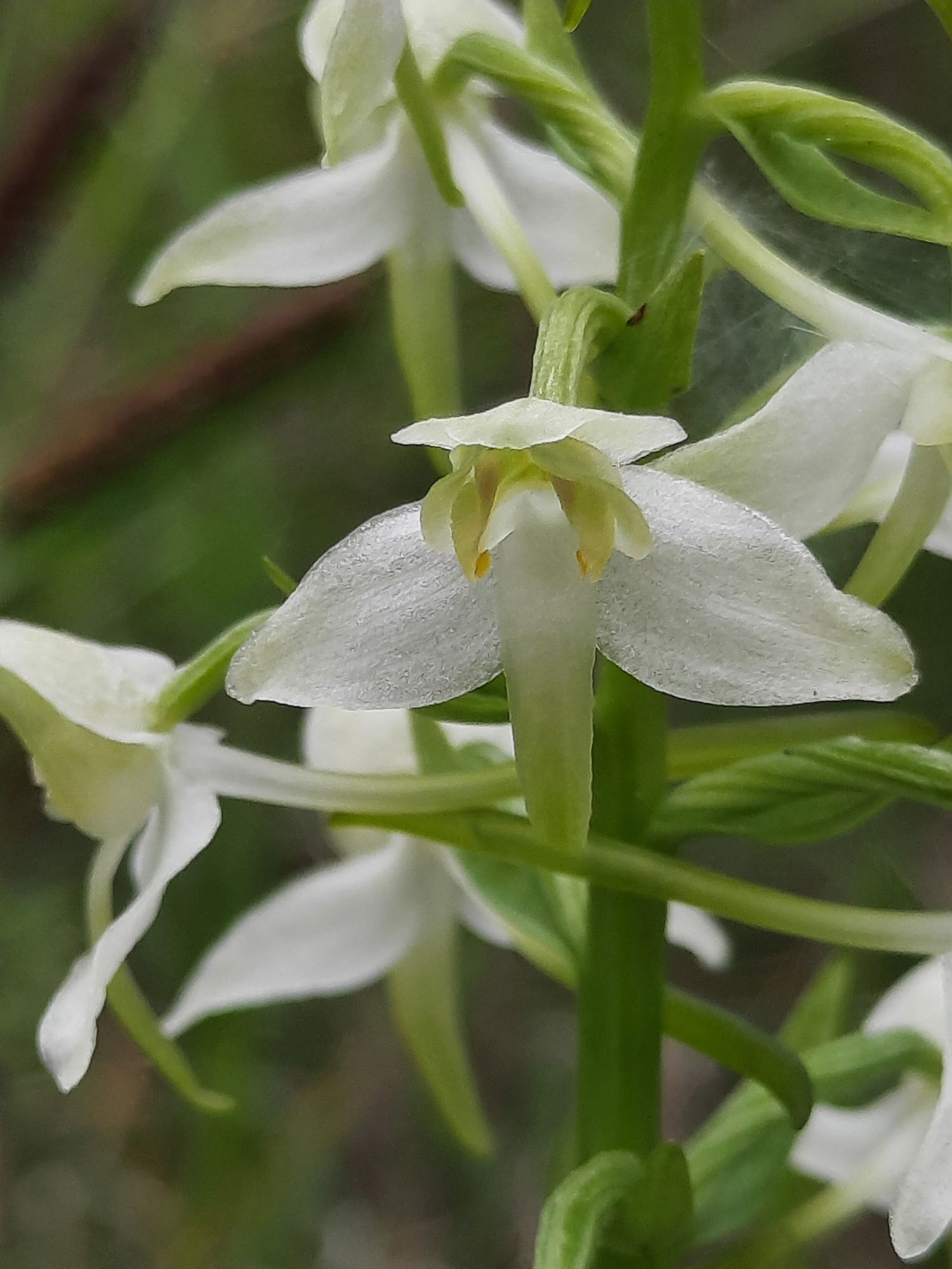
- Siting Date :May 31, 2008
|
- Location :Mont Florentin, near Berneuil-En-Bray (Oise), France.
N49Ḟ 20.532' E2Ḟ 03.430'
|
- Photo Date :June 5, 2005
- Location :Near Auendorf, Schwäbian Alb.
N48Ḟ 37.084' E9Ḟ 38.990'
|
 |
- Photo Date :June 5, 2005
- Location :Near Gruibingen, Schwäbian Alb.
N48Ḟ 35.723' E9Ḟ 36.855'
|
 |
- Photo Date :June 5, 2005
- Location :Near Gruibingen, Schwäbian Alb.
N48Ḟ 35.753' E9Ḟ 37.241'
|
 |
- Siting Date :June 5, 2010
|
- Location :Quarries of Saint-Vaast-Les-Mello, Oise, France.
N49Ḟ 15.999' E2Ḟ 23.949'
|
- Siting Date :June 5, 2016
|
- Location :Forêt de Saint Germain-en-Laye, côté Etang de Cora
|
- Photo Date :June 9, 2007
- Location :Near Wertach, Allgäu, Germany.
N47Ḟ 36.003' E10Ḟ 27.388'
|
 |
- Siting Date :June 12, 2021
|
- Location :La réserve naturelle régionale du Site géologique de Limay (Yvelines), France
|
- Photo Date :June 12, 2021
- Location :Saint-Martin-la-Garenne (Yvelines), France
|
 |
- Photo Date :July 16, 2005
- Location :Slopes of Kuhgehrenspitze, Kleinwalsertal, near the Austrian/German alpine border.
N48Ḟ 35.753' E9Ḟ 37.241'
|
 |